API reference#
This page provides a summary of xDEM’s API. For more details and examples, refer to the relevant chapters in the main part of the documentation.
DEM#
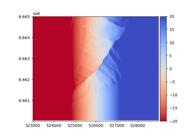
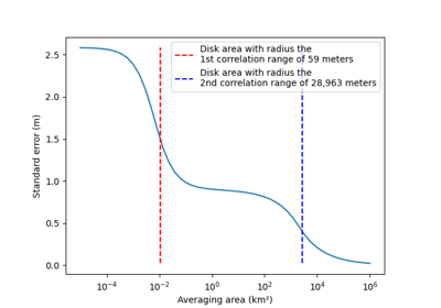
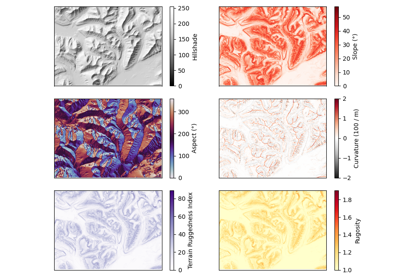
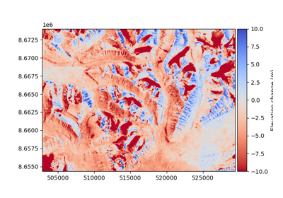
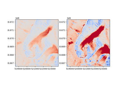
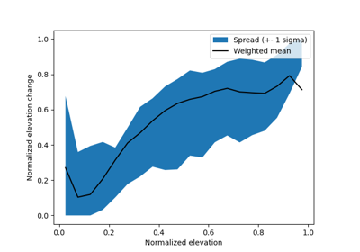
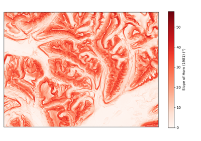
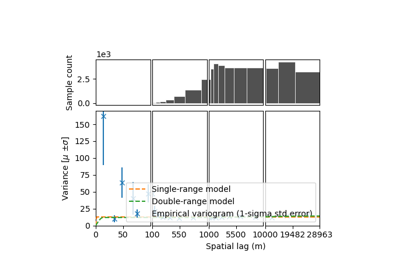
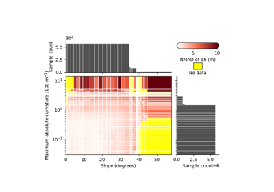
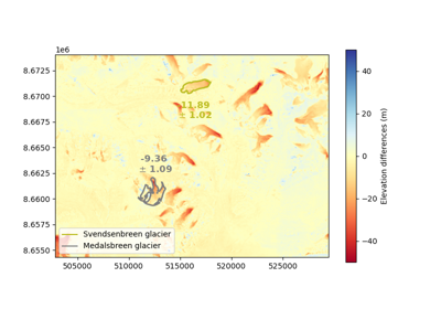
Examples using xdem.DEM#
Opening a DEM#
|
The digital elevation model. |
|
Summarize information about the raster. |
Create from an array#
|
Create a DEM from a numpy array and the georeferencing information. |
Unique attributes#
Note
A DEM inherits four unique attributes from Raster, see the dedicated section of GeoUtils’ API.
Vertical coordinate reference system of the DEM. |
Derived attributes#
Compound horizontal and vertical coordinate reference system of the DEM. |
Vertical referencing#
|
Set the vertical coordinate reference system of the DEM. |
|
Convert the DEM to another vertical coordinate reference system. |
dDEM#
|
A difference-DEM object. |
DEMCollection#
dDEM#
|
A temporal collection of DEMs. |
Coreg#
Overview of co-registration class structure:
Coregistration, pipeline and blockwise#
|
Generic co-registration processing class. |
|
A sequential set of co-registration processing steps. |
|
Block-wise co-registration processing class to run a step in segmented parts of the grid. |
Affine coregistration methods#
Generic parent class:
|
Generic affine coregistration class. |
Convenience classes for specific coregistrations:
|
DEM vertical shift correction. |
|
Nuth and Kääb (2011) DEM coregistration. |
|
Iterative Closest Point DEM coregistration. |
|
DEM tilting. |
Bias-correction (including non-affine coregistration) methods#
Generic parent class:
|
Parent class of bias correction methods: non-rigid coregistrations. |
Classes for any 1-, 2- and N-D biases:
|
Bias-correction along a single variable (e.g., angle, terrain attribute). |
|
Bias-correction along two variables (e.g., X/Y coordinates, slope and curvature simultaneously). |
|
Bias-correction along N variables (e.g., simultaneously slope, curvature, aspect and elevation). |
Convenience classes for specific corrections:
|
Correct for a 2D polynomial along X/Y coordinates, for example from residual camera model deformations. |
|
Bias correction for directional biases, for example along- or across-track of satellite angle. |
|
Correct a bias according to terrain, such as elevation or curvature. |
Terrain attributes#
Terrain attribute calculations, such as slope, aspect, hillshade, curvature and ruggedness indexes. |
Volume integration methods#
Volume change calculation tools (aimed for glaciers). |
Fitting methods#
Functions to perform normal, weighted and robust fitting. |
Filtering methods#
Filters to remove outliers and reduce noise in DEMs. |
Spatial statistics methods#
Spatial statistical tools to estimate uncertainties related to DEMs |
